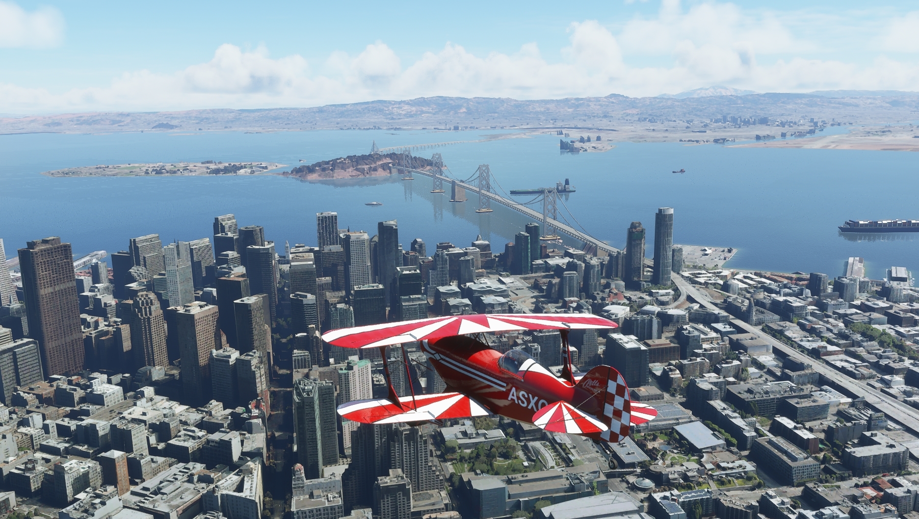
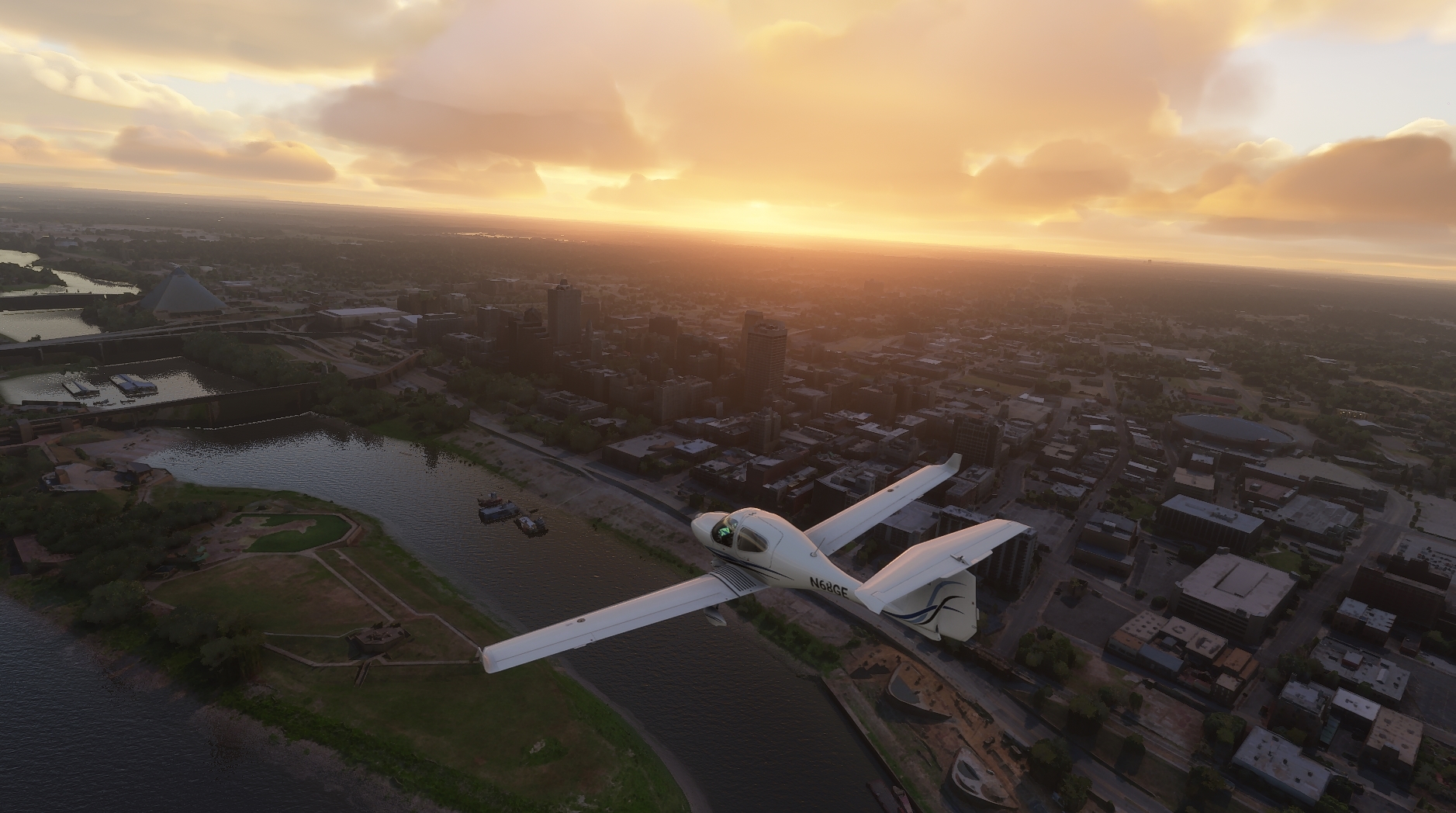
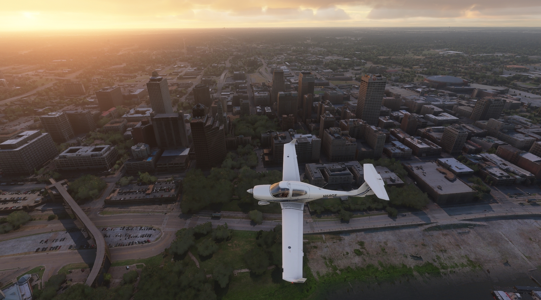
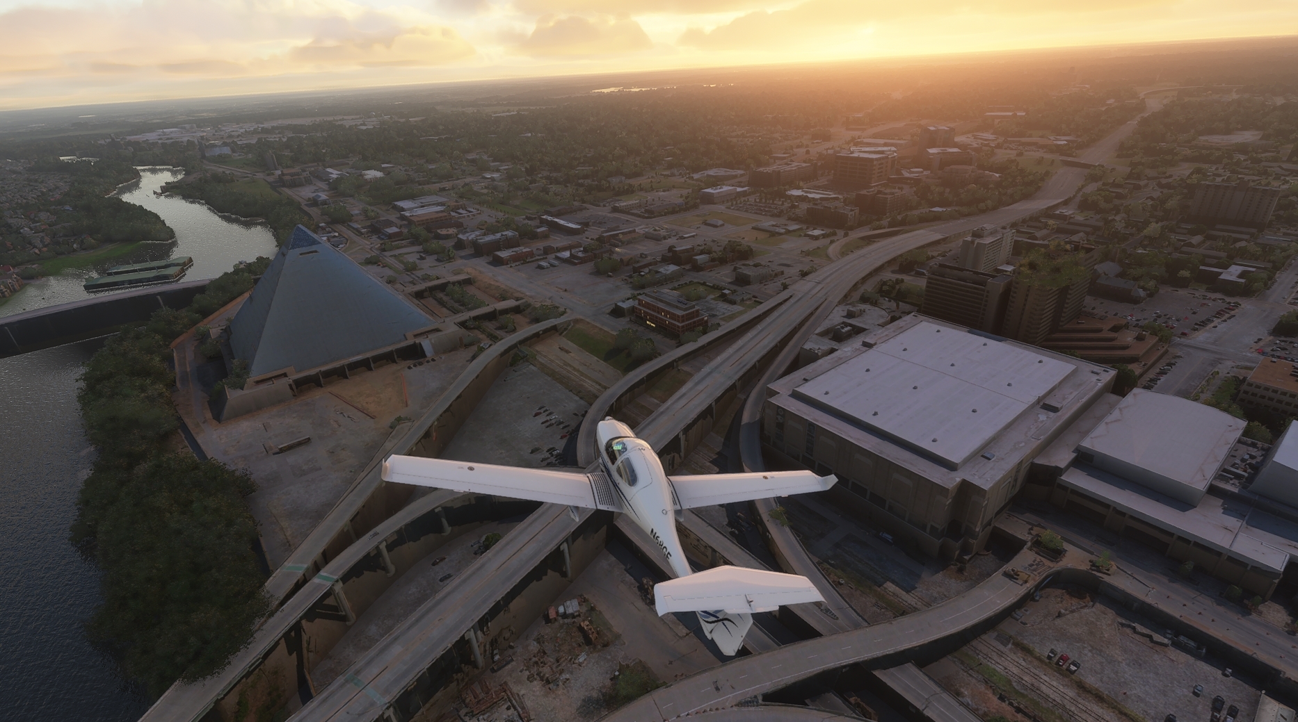
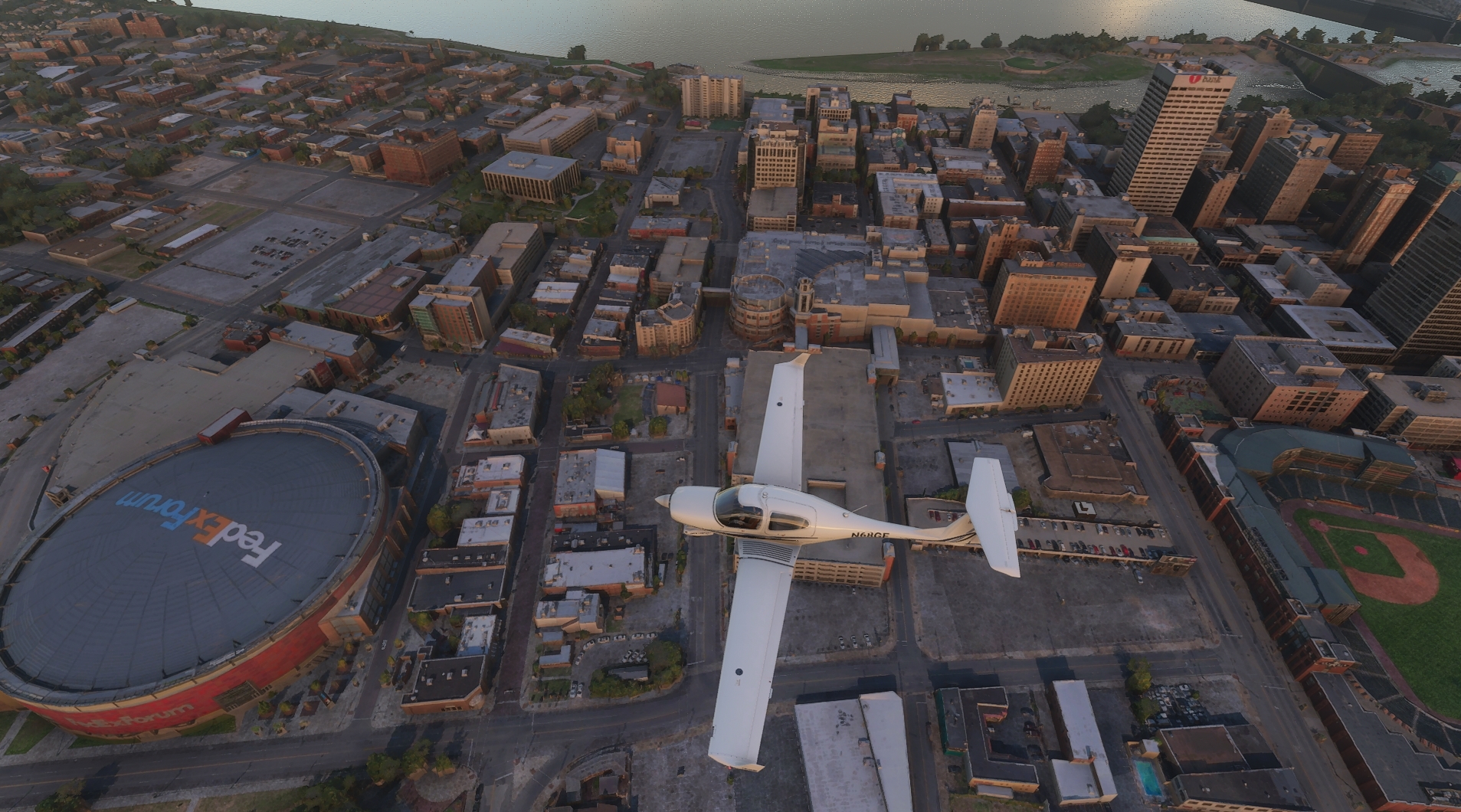
This article contains a list of all 341 cities in Flight Simulator that have been photogrammetrically 3D-rendered, meaning that the buildings look more or less true-to-life, like Memphis up there, organized by country and state. As you can see the list includes
most major and a number of minor cities.
The rest of the cities and towns in the world are procedurally generated, NOT randomly generated from stock assets. The whole world uses satellite mapping and has an accurate road grid; AI then analyzes the satellite imagery and identifies buildings, generating 3D models with the correct footprint and roof color and placing them on the ground. This process isn't perfect, and the AI-created buildings certainly aren't as photoreal as the ones in the above-linked list of cities; however, even the AI assets are at least accurately placed. You WILL be able to find your "house" where it's supposed to be, even if it doesn't look super-photo-accurate.
ETA: Very interestingly, a major city that is very noticeably NOT photogrammetrically rendered is Washington, DC. It has a handful of hand-made monuments like the Lincoln Memorial and the Pentagon across the river, but most of the city is AI-generated. This means that yer Capitol Building is an office building. The Washington Monument is a very tall, very skinny office building.
The understanding is that the LIDAR sensing used to create the 3D photogrammetry was not permitted in Washington, DC for security reasons. Not even Google Maps has 3D buildings in downtown Washington.